

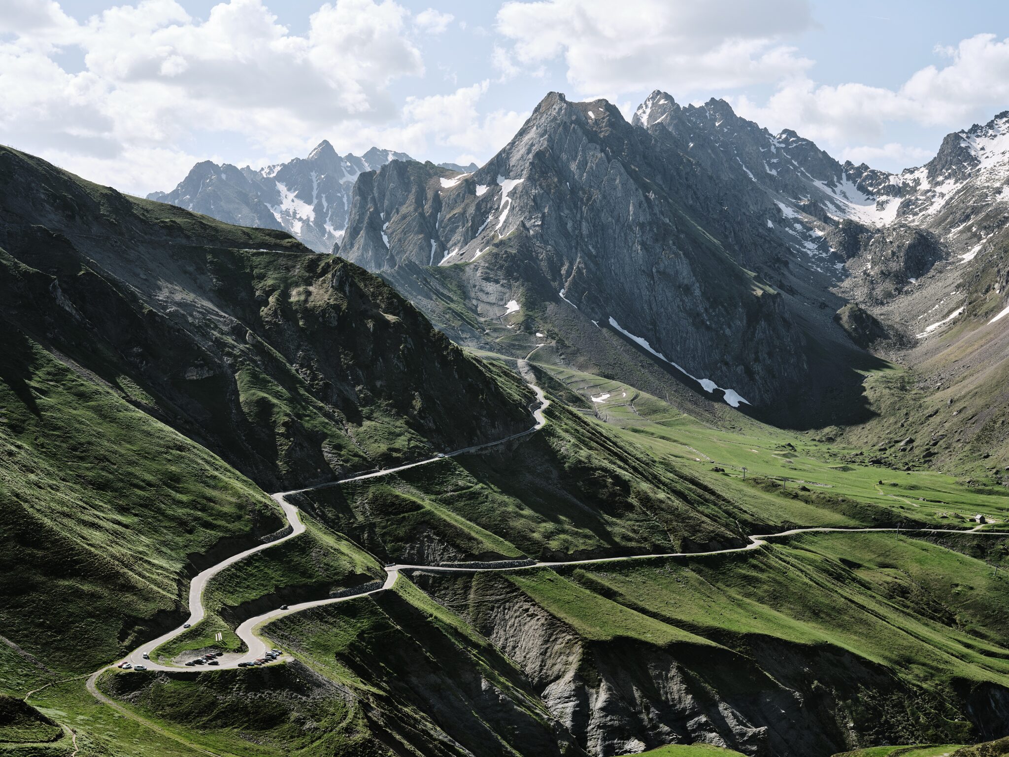
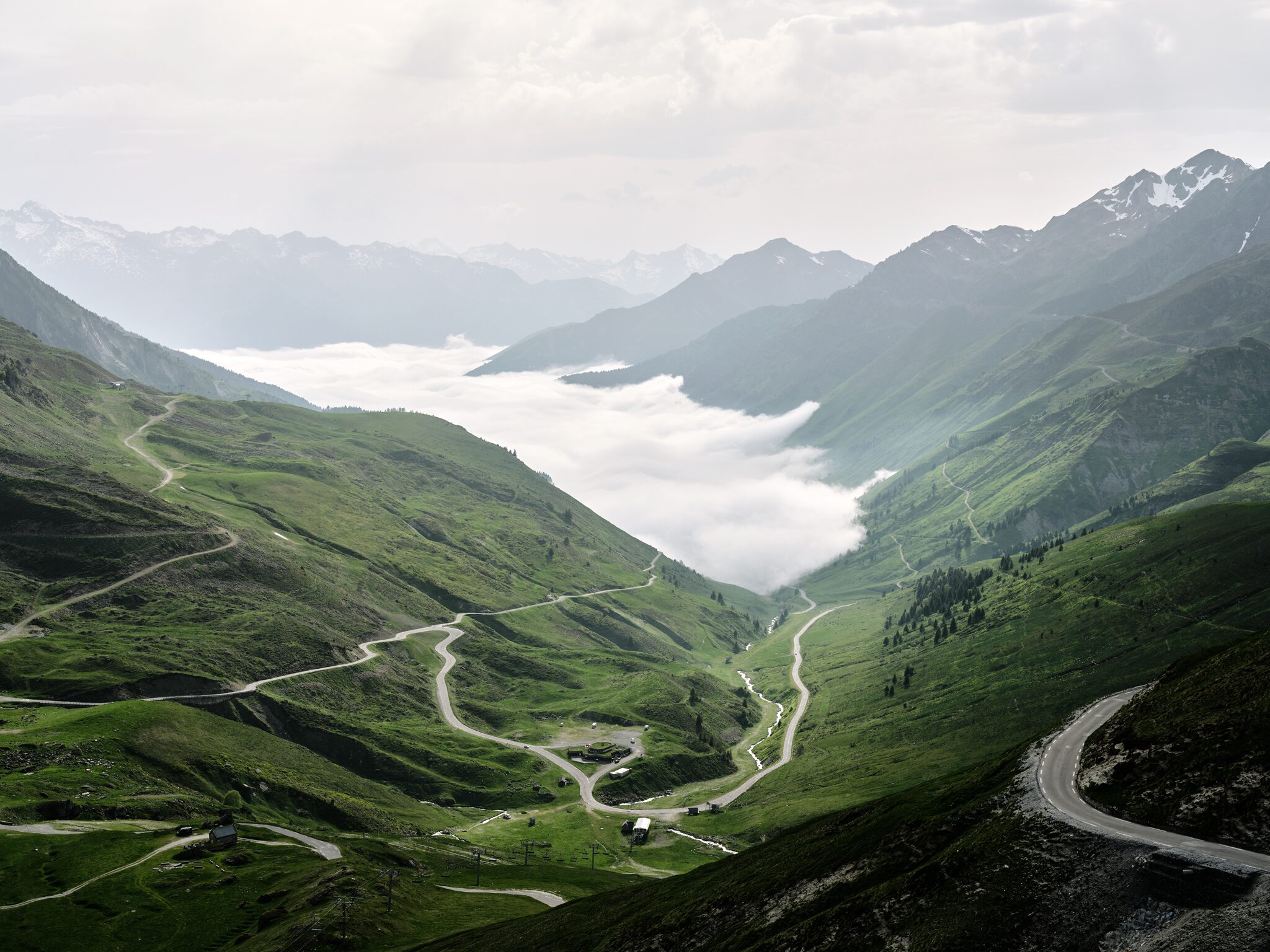
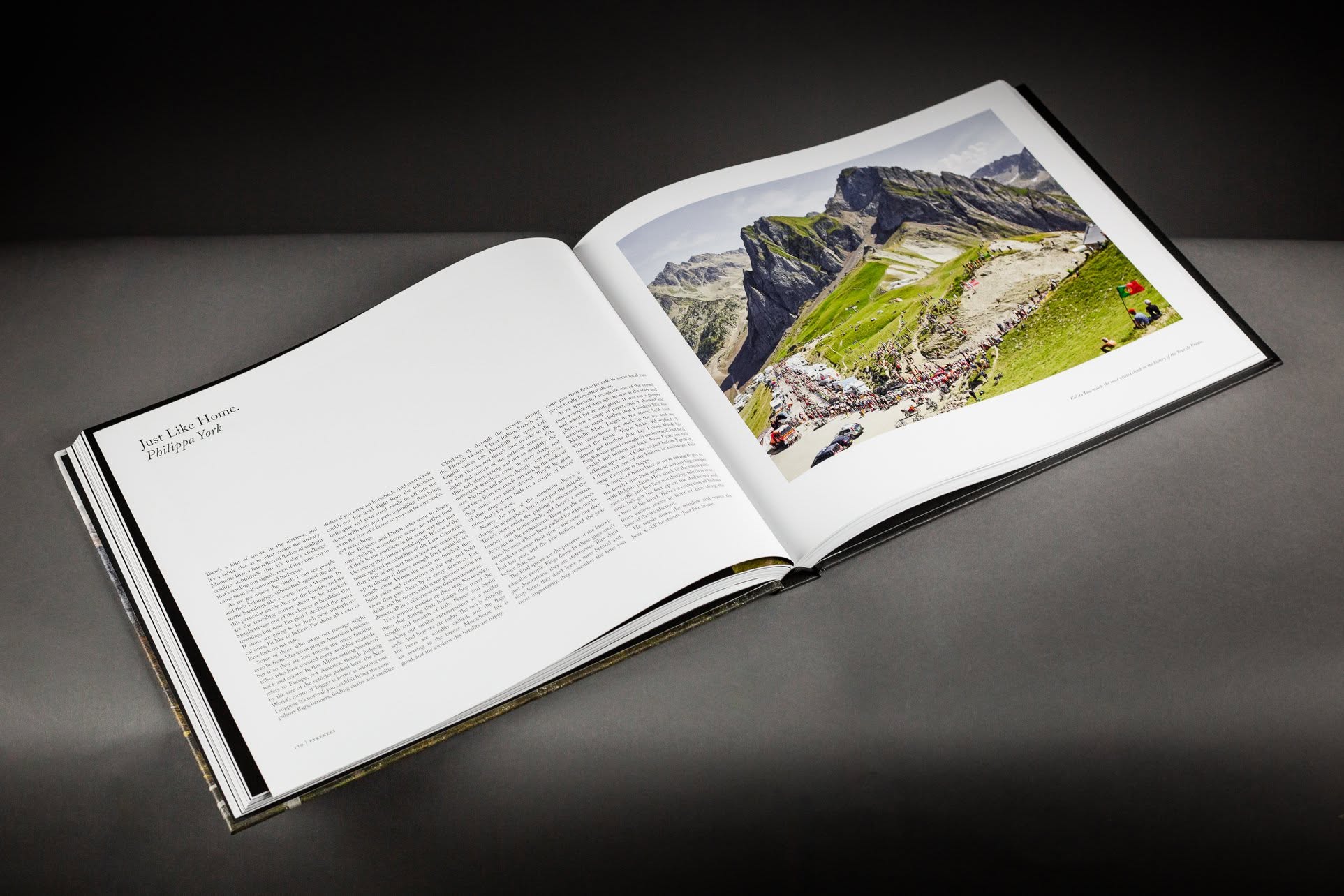
The Tourmalet is the highest paved pass in the French Pyrenees and the most used climb in the history of the Tour de France. The race first crossed it in 1910, when the road was a gravel track and parts of it were walked. It has been back more than eighty times since.
From Luz-Saint-Sauveur the ascent is eighteen kilometres, from 714 metres to 2,115. There is very little of the switchback architecture that makes the Alpine passes legible from a distance. The road runs mostly straight up an open valley, through the ski village of Barèges at the halfway point, and then out above the treeline onto bare grass where the gradient stops relenting. The last eight kilometres sit between eight and nine per cent, and the steepest of them arrives second from the summit.
It is a climb of accumulated load rather than sudden violence. Nothing here breaks a rider in a hundred metres. What it exposes, over an hour, is a frame that returns less than the rider puts into it — which is the argument for building the laminate around the rider rather than the mountain.
Photography
Michael Blann
Rider
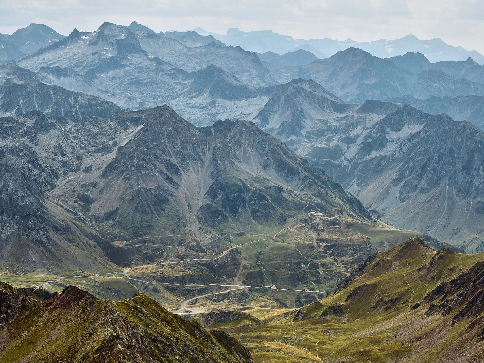
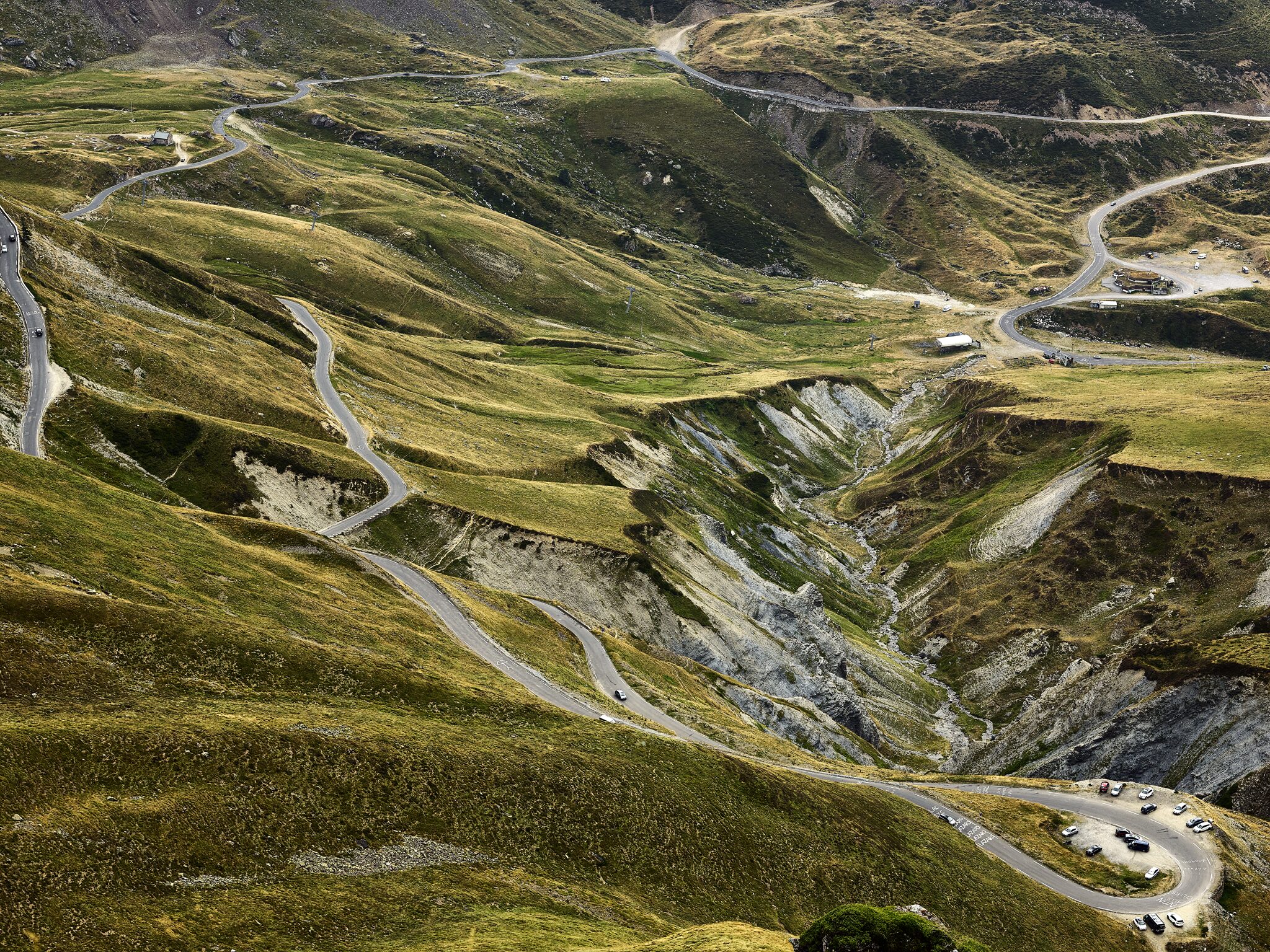
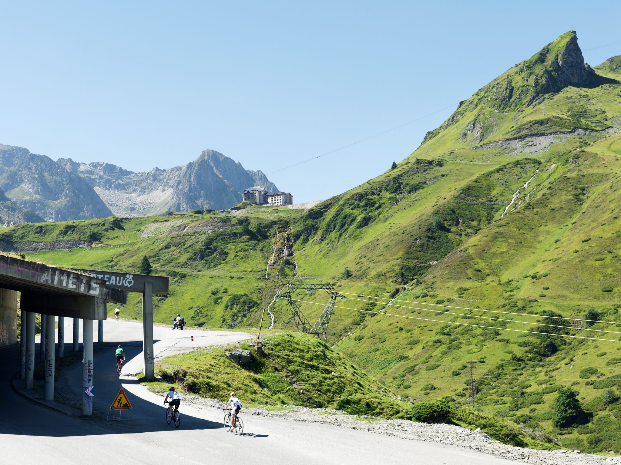
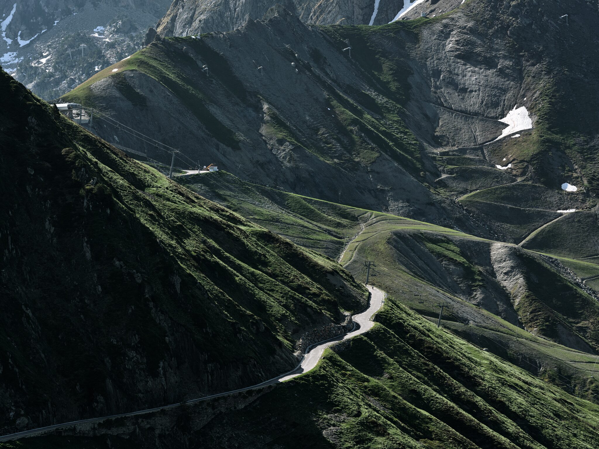
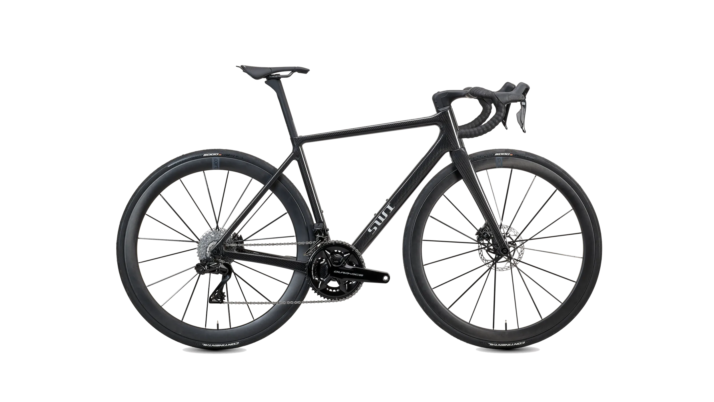
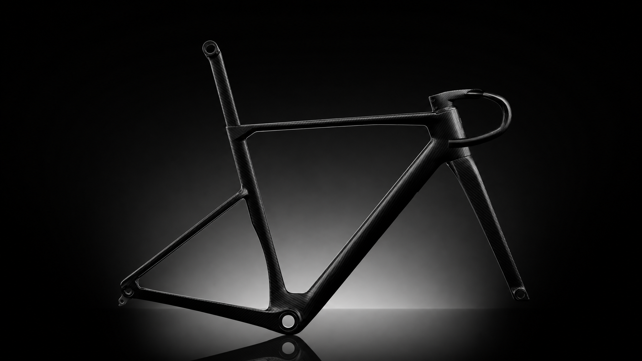
Every SWI is laid up for one rider — their weight, their power, the way they actually ride. One uninterrupted carbon shell, formed in a single mould, built for a body rather than a size chart. It is the whole reason the same mountain feels different underneath two frames.
Michael Blann
For the people who live beneath them the great European ranges are simply a way of life. For everyone else they are scenery. For a cyclist they are none of those things — they are an appointment with your own limits, and the reason a road that goes nowhere useful is worth riding at all.
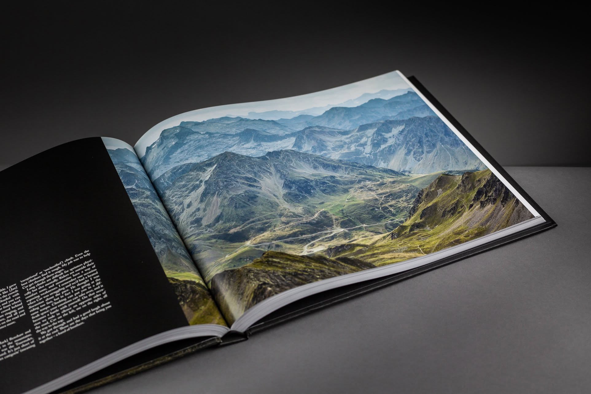
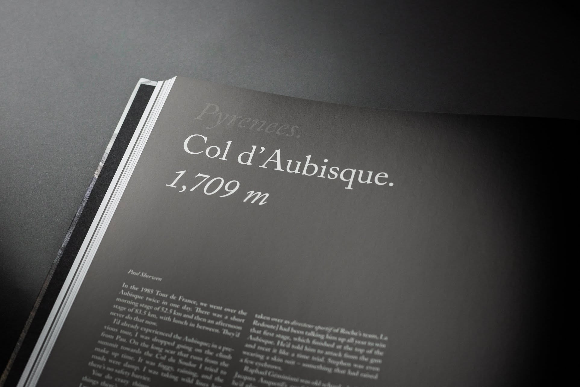
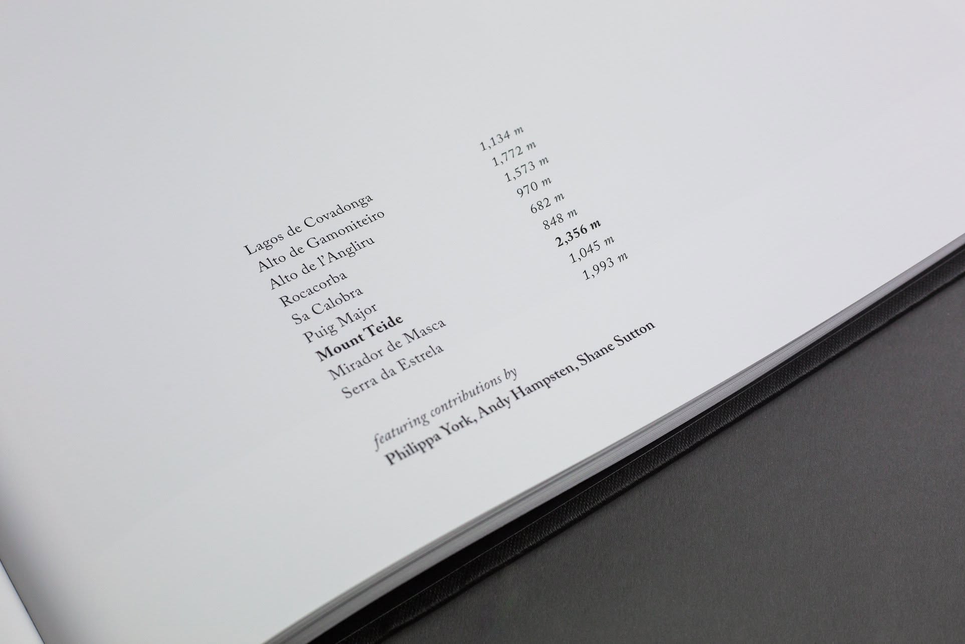
Michael Blann has spent years photographing the climbs that made the sport: the Alps, the Dolomites, the Pyrenees, the Ardennes. The pictures are landscape photography of a very high order, but the book is really about what those places do to the people who ride them — an argument built from light, weather and altitude, with recollections from professional riders threaded through it.
If you have ever ridden one of these roads, or intend to, it is the closest thing to being back on it.
Find the book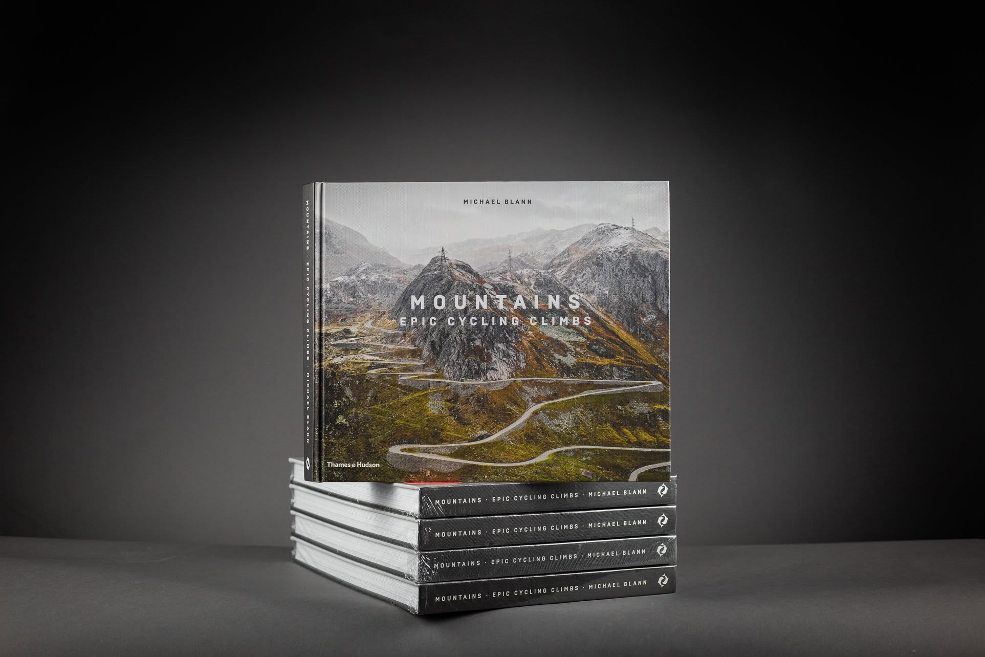
As Featured In





Tell us a little about yourself. We reply personally within 24 hours — no automated replies.
Something went wrong. Please try again.
Your details are kept private and never shared with third parties.
Your message is with the team in Italy and a confirmation is on its way to your inbox. We reply personally within 24 hours.